

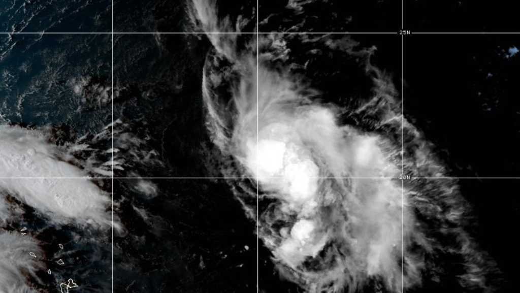
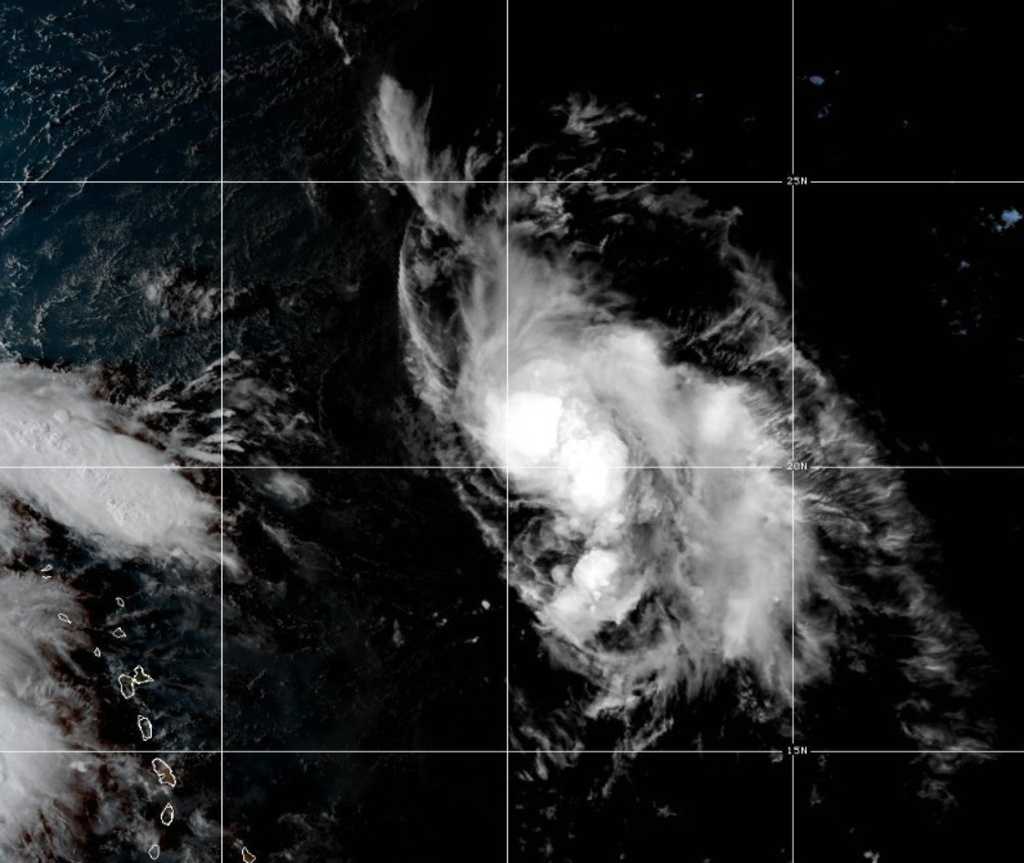
Tropical Storm Humberto formed in the Atlantic Ocean on Wednesday afternoon, forecasters said.
Humberto was located 550 miles east-northeast of the northern Leeward Islands with maximum sustained winds of 40 mph, the National Hurricane Center in Miami said. Steady strengthening was expected over the next few days.
The tropical storm was moving west-northwest at 15 mph.
A hurricane warning was issued for the Azores as Hurricane Gabrielle raced Wednesday across open Atlantic waters on track for the volcanic archipelago, forecasters said.
The Category 2 storm is forecast to weaken but still approach the Azores late Thursday as a hurricane, with dangerous conditions likely Thursday night and Friday, the Miami-based U.S. National Hurricane Center said.
Waves generated by Gabrielle will continue to affect Bermuda, the U.S. East Coast from North Carolina northward and the Atlantic coast of Canada, forecasters said. Life-threatening surf and rip currents are possible.
In the Pacific, Hurricane Narda strengthened Tuesday into a Category 2 storm while continuing to move away from Mexico, forecasters said.
Narda was centered about 560 miles south-southwest of the southern tip of Mexico’s Baja California peninsula, and was moving west at 10 mph. No coastal watches or warnings were in effect as the hurricane was expected to continue moving further offshore.
Swells generated by Narda could bring rough surf and rip current conditions to some parts of coastal Mexico, forecasters said. The hurricane was expected to weaken over the next day or so, but restrengthen on Thursday and Friday.