

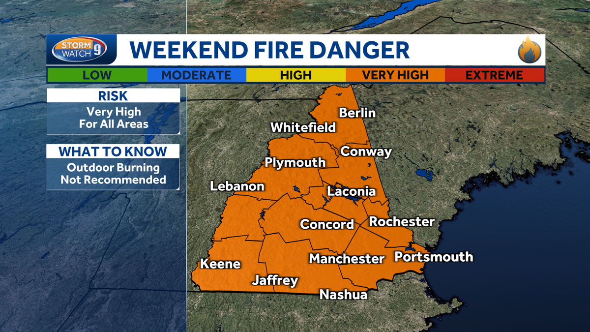
While a refreshing air mass in place for the start of the weekend, heat and humidity returns to New Hampshire. Storm chances will be on the rise to end the weekend.
>> Download the free WMUR app to get updates on the go: Apple | Google Play <<
TONIGHT
Fair skies with patchy fog overnight.
SUNDAY
After some early morning fog, Sunday will feature more sunshine and hot conditions in southern NH (highs in the upper 80s to low 90s), with lower temps farther north.
A cold front will arrive during the afternoon and early evening, leading to some scattered thunderstorms. Some storms could be strong with gusty winds and heavy rain.
TROPICAL UPDATE: ERIN
Erin on Friday became the first hurricane of this year’s Atlantic hurricane season.
Erin is an intense category 5 storm. It is moving toward the west-northwest at 16 mph.
Erin will continue moving west/northwest with a turn to the northwest and north by early next week.
Most forecast models show the storm tracking between the U.S. and Bermuda around the middle of next week before moving into the northern Atlantic Ocean well east of New England.
High surf is possible later next week along the New Hampshire coastline as it makes its closest pass offshore.
LOOKING AHEAD
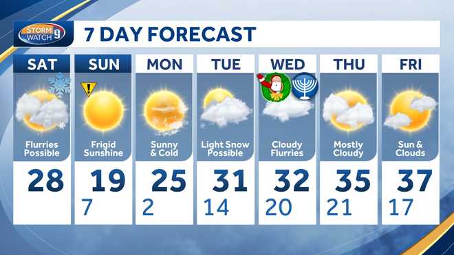
Monday looks bright and much more fall-like with more of the same on Tuesday. The next chance of showers will be Wednesday.
>> Subscribe to WMUR’s YouTube channel <<
Be weather-aware! Download the WMUR app for Apple or Android devices and turn on push notifications. You can choose to receive weather alerts for your geolocation and/or up to three ZIP codes. In addition, you can receive word when precipitation is coming to your area.
Get storm coverage through the free Very Local app on your smart TV.
Follow the Storm Watch 9 team on social media: